SELECTING DATA: BY GRAPHICS
|
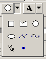
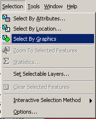
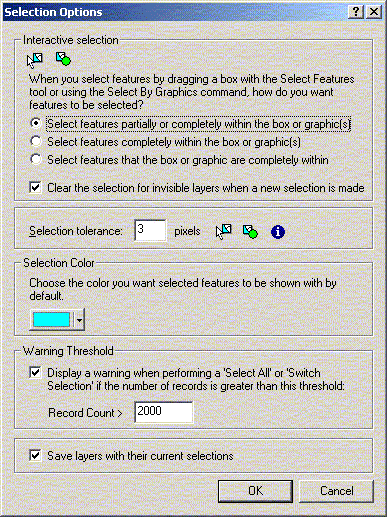
Selecting Data At the beginning of the workshop you saw how you could select features in a theme using the ‘Select Features’ tool or by selecting records in an attribute table. Within any GIS application you can also select features based on some type of spatial association. Open the RHA.apr project. Graphics On the toolbar, there is a drop-down menu which can be used to draw graphics on your map. Any features in the selectable layers can be selected using the ‘Select by Graphics’ menu item under the Selection menu. Choose the circle and click and drag to draw a circle on your map, wherever and whatever size you want. (Where you click will determine the centre of the circle.) The centre and radius of the circle will be displayed in map distances on the lower left of the ArcView window. You can also define the specific X/Y centre and radius for a selected graphic circle using “Size and Position…” under the Graphics menu. Once you have drawn the circle, you can choose “Select by Graphics” and any features of the selectable layers inside or partially inside the circle will be selected by default. How items are selected can be changed using the Selection options.
| ||||