Max Rady College of Medicine
Concept: Green Spaces Variable - Winnipeg
Concept Description
Last Updated: 2002-11-12
Introduction
-
Green space was used as a measure of social capital within each community centre area. The average distance from each postal code to green space was calculated for:
Community Areas (12)
,
Neighbourhood Clusters (23)
, and
Community Centre Areas (72)
.
In this process, however, each postal code in a geographic area was weighted according to the population in that postal code.
Note: This should be done for any analyses that use distance to green space as a variable. Otherwise, a few people living far from the nearest park could skew the measure if it is calculated at the CCA, NC, or CA.
Definition
-
Green space was defined using the 'Recreational Spaces' topographic layer of the CanMap v4.2 streetfiles (DMTI Spatial, 2001) or the parks layer obtained from the Winnipeg Property and Lands Branch (2002). ArcView 3.2 (ESRI, 1999), using the Nearest Features, with Distances and Bearings (v. 3.4) extension by Jeff Jenness, was used to locate and measure the distance between each postal code centroid and the nearest green space edge. Areas and distances were measured as kilometers using NAD83, Zone 14 projection. Population numbers were summarized by postal code from the Manitoba Health Insurance Registry for those individuals registered at December 31, 2000.
-
Parks/Sports fields - 180
-
Cemeteries - 25
-
Golf Courses/driving range - 20
- other - 1
This file was then imported into MS Access along with the ArcView table. A query eliminated all people residing in postal codes not included in the ArcView file, and also joined in one table the distances and the populations for each postal code in one file. This table was then brought into SAS, and CA's, NC's, and CCA's were assigned to each postal code.
The average distance to green space for each CA and NRN was calculated. Weighting each postal code by the number of people residing eliminated any bias that might be introduced if all postal codes were treated equally.
Note: We were primarily interested in the proximity of recreational fields to locations where people live, not in the total amount or proportion of green space within any individual community area.
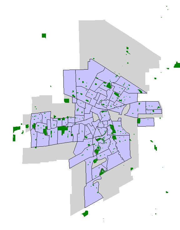
The green spaces in the DMTI spatial data within the boundaries of Winnipeg are:
Green spaces in the City of Winnipeg files are not distinguished into different types and includes some smaller areas not often considered as parks such as large road allowances (Wellington Cres), river banks, undeveloped fields.
Limitations
-
Only the recreational spaces (as defined above) layer was included in this analysis.
- This includes parks and sports fields of a reasonable size (the smallest in the DMTI data is roughly 1 acre).
- Exclusions: Green spaces such as river banks and undeveloped land, small local parks or 'tot-lots'
- The nearest edge of the green space area was determined.
- No limitation was made for crossing rivers or other large geographic boundaries.
- Calculated distances are defined as straight line distances not as road distances.
Related concepts
- Community Centre Areas (CCAs)
- Geocoding Addresses: Using ArcView
- Neighbourhood Clusters (NC)
- Winnipeg Community Areas (CAs)
Related terms
Keywords
- Recreation
- social capital
Request information in an accessible format
If you require access to our resources in a different format, please contact us:
- by phone at 204-789-3819
- by email at info@cpe.umanitoba.ca
We strive to provide accommodations upon request in a reasonable timeframe.
Contact us
Manitoba Centre for Health Policy
Rady Faculty of Health Sciences,
Room 408-727 McDermot Ave.
University of Manitoba
Winnipeg, MB R3E 3P5 Canada
204-789-3819