BASIC USE: LAYOUT VIEW
| Layout View & Multiple
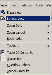
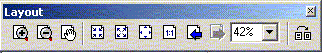
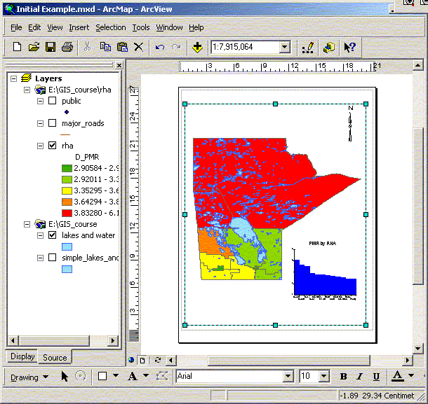
Frames To this point most of the work that we have done with the GIS is in what is called Data View. ArcGIS will allow you to generate specific layouts that include multiple frames of the data, charts, tables, etc… Layout View is selected from the View menu. A layout lets you assemble all the components you want to appear in a map including multiple frames, scale bars, charts and other text. In Layout View there are other options that are specific to the layout. These are available through the Layout toolbar. Many of these buttons have similar functions to those in the view window except they apply to the layout and do not change what is actually in the frame. For example the zoom in/out and pan options change the amount of the page that you see but what gets printed in the end is still what is inside the page boundaries.
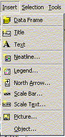
There are a number of frame properties available for each frame that can be explored at your leisure. After a data frame has been added you can add scale bars and legends that correspond to the view – if you have multiple frames you can chose which frame the scale and legends are associated with. Legends will only display what is still shown as a legend (that is not hidden) in the table of contents in the view. When working with multiple frames make sure that the one you are working with is the active frame in the Table of Contents. Like any frame or object in other vector based programs frames can be moved and layered. Occasionally when a frame is moved the layout display will not refresh correctly. Click on the refresh view button at the bottom of the screen. The page size of the layout and properties can be configured by selecting Page setup in the File menu. When printing or saving files you should to include the following
information: date, data source, projection, scale. | ||||
|
| ||||